Web and mobile applications
We design and build SaaS platforms, web and mobile applications, with special focus on interactive web maps, and spatial data.
Services
Web and Mobile applications
Sofware development of Web and Mobile applications.
Custom online maps and GIS systems
Interactive apps with maps, 3D, and performant overlays for web and mobile.
Spatial data analytics
Spatial analytics of massive datasets such as satellite imagery or LiDAR point clouds.
Reference projects
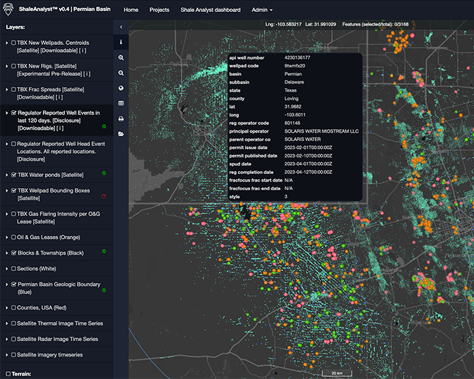
SaaS for Satellite Image Analytics
Web application for automated Satellite Image Analytics using AI/ML models.
For: Terrabotics
SaaS for wind damages on power grid
Web app running predictions of vegetation causing damages on power lines due to strong winds.
For: Scottish power Lancaster University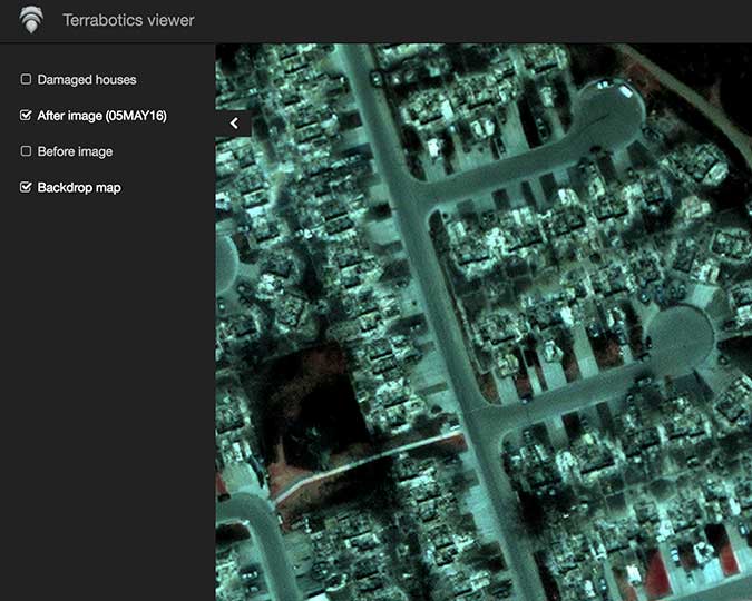
SaaS mapping forest fires
App showing forest fire damages for insurance company to confirm claims.
For: Terrabotics
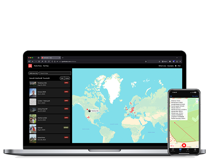
SaaS - Travel journal app
Travel journal app for web and mobile. Includes video editor for map animations.
For: Geofoobar
Database to PDF reports tool
Web app for exporting database summaries to pdf for presetations.
For: IFER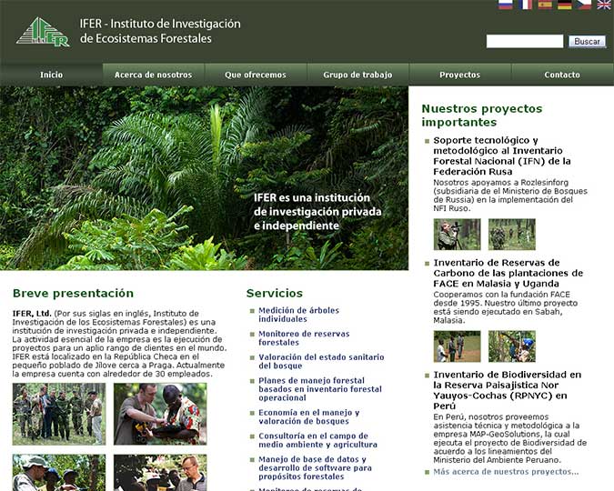
Custom website development
Website for a company specializing in forest technology developement.
For: IFER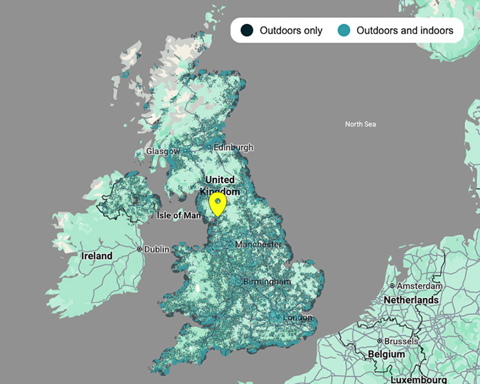
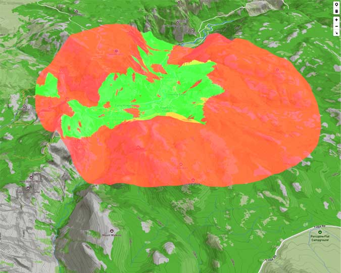
Online Viewshed analysis tool
Web app for quick viewshed analysis for celltower placement.
For: Mapbox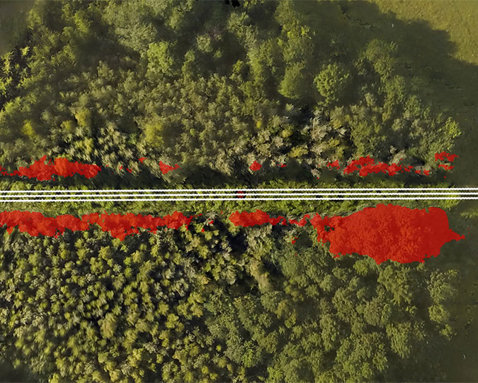
Drone aerial mapping
Mapping of vegetation using drones and creating apps and algorithms for visualization.
For: CZU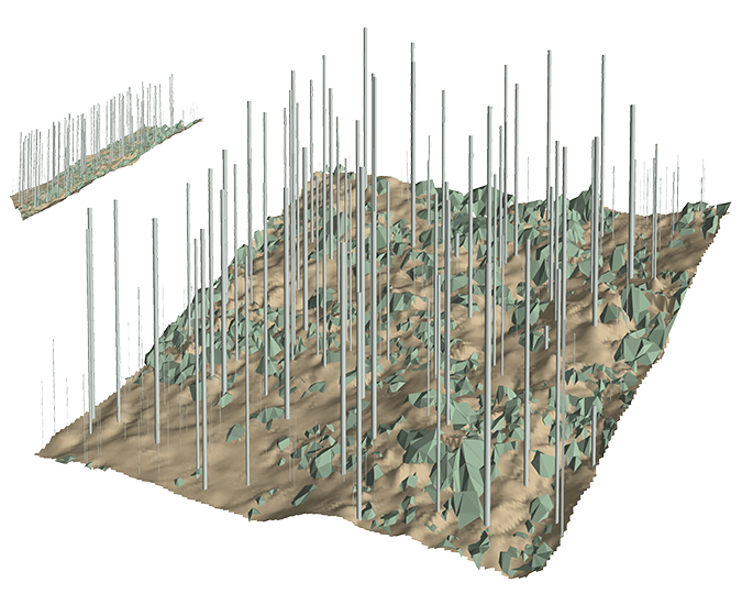
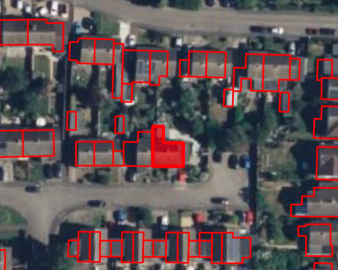
Solar panel site selection
Analytics of UK nationwide LiDAR point cloud to select suitable rooftops for solar panel installations
For: Landclan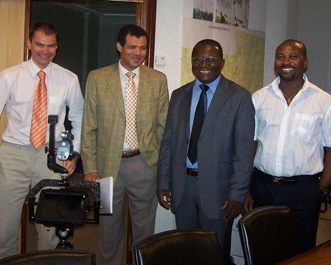
International project management
Leading monitoring projects in the Czech Republic, Malaysia, Uganda and Russia.
For: Face the future IFER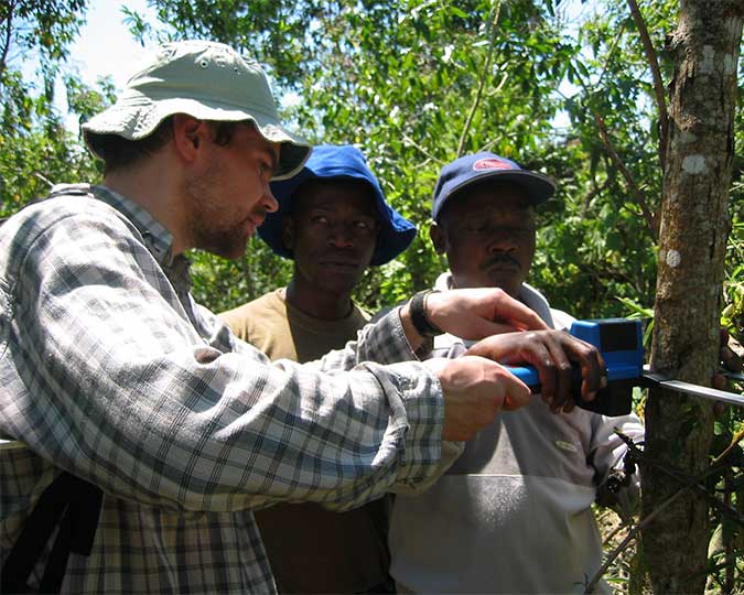
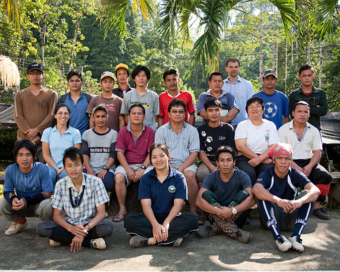
Technology trainings
Multiday survey technology trainings in Uganda, Malaysia, Gabon, Ukraine, Russia, etc.
For: Face the future IFERContact